Professional Geospatial Data Processing by AIRIAL UAS
High-quality aerial data is only as valuable as the insights you can derive from it.
At AIRIAL UAS, we are expanding our expertise beyond UAV platforms and mission equipment with a dedicated Geospatial Data Processing service. Our team of experienced specialists transforms raw LiDAR, imagery and other aerial datasets into accurate, structured and ready-to-use geospatial information.
Whether your data was captured with an AIRIAL UAS platform or another UAV system, we can process it efficiently and deliver the results you need for your specific application.
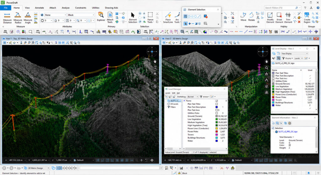
LiDAR Data Processing & Advanced Classification
We process and classify LiDAR point clouds to extract the information that matters for your project.
Our expertise includes:
Advanced point cloud classification
Power line and utility corridor classification
Urban environment and infrastructure mapping
Terrain and ground classification
Vegetation classification
Digital Terrain Models (DTM)
Digital Surface Models (DSM)
Custom classification according to project-specific requirements
From complex infrastructure environments to large-scale terrain datasets, we provide structured, accurate and GIS-ready LiDAR data.
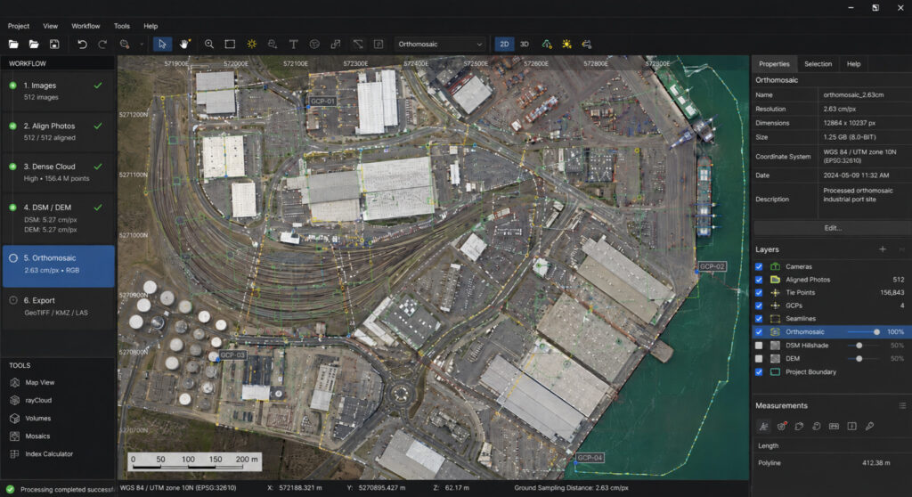
Orthophoto Processing & Photogrammetry
Turn aerial imagery into precise, measurable geospatial products.
Our photogrammetry services include:
Orthophoto and orthomosaic generation
Image processing and alignment
Digital Surface Models (DSM)
Digital Terrain Models (DTM)
3D reconstruction and modelling
High-resolution mapping products
Measurements and feature extraction
We deliver accurate imagery and 3D data that can be directly integrated into your existing workflows.
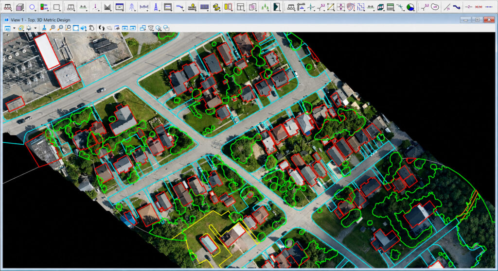
GIS Processing & Digital Planimetry
We convert geospatial data into structured information that can be used directly in GIS environments.
Our services include:
GIS data processing
Vectorization
Digital planimetry
2D feature extraction
Mapping and digitization
Creation of GIS-ready datasets
Customized data formats and deliverables
Whether you need buildings, roads, utilities, terrain features or other objects extracted from your aerial data, our specialists can tailor the processing to your exact requirements.
Your Data. Our Expertise.
You don’t need to change your UAV system or your existing data acquisition workflow.
Send us your data – we’ll take care of the processing.
Our services are designed to complement existing UAV operators, surveying companies, infrastructure providers and industrial customers who need reliable geospatial data processing without having to build their own processing capabilities.
And because we combine efficient workflows with an experienced specialist team, we can offer high-quality processing at highly competitive rates.
Professional Results. Competitive Pricing. Flexible Service.
Whether you need a single project processed or are looking for a reliable long-term processing partner, AIRIAL UAS offers flexible solutions tailored to your requirements.
Get in touch with our team
– to discuss your project and receive a customized quotation.
AIRIAL UAS GmbH & Co KG Vorsetzen 53 20459 Hamburg Germany